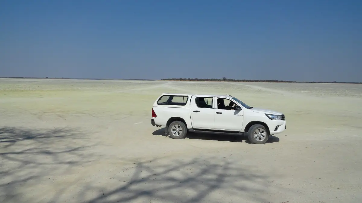
Makgadikgadi history: an ancient lake that came and went
Makgadikgadi history starts with water. Today's pans are the remains of a former large lake system that went through several high and low phases, not a single drying event. A scientific review gives maximum extents of roughly 66,000 to 90,000 square kilometres, depending on the phase and the way it is reconstructed. That is a figure for the ancient lake. It must not be mixed up with the area of today's pans or of the national park.
The pan complex itself is described by Botswana Tourism as a landscape of about 12,000 square kilometres. Sowa lies in the east, Ntwetwe in the west and further pans lie to the north. The national park, which the tourism board lists at 3,900 square kilometres under its older "game reserve" name, covers only the western end of Ntwetwe and the grassland towards the Boteti River. Three separate numbers, three separate things.

See Baines' Baobabs with a guide
This route includes a full-day game drive that reaches Nxai Pan and Baines' Baobabs.
Hand-picked tours, booked through Viator. Prices are indicative starting prices in US dollars (as of October 2026). Tap a tour for live availability and the current price in your currency.

See the landscape the lake left behind
Day trips and sleep-outs cross grassland and salt pan that were once lake bed. Compare starting points and inclusions, and treat any mention of wildlife as a chance, not a promise.
Stone Age traces around the lake
Researchers study Middle Stone Age artefacts alongside dated sediments and former shorelines, in an effort to connect early human activity with changing water levels. Surface finds are not automatically datable on their own, so no single stone tool you might see can be given an exact age. We make no claim about the age of any particular find.
The same research frame explains why the ground looks the way it does. Lake levels rose and fell, the shorelines moved and the salt flats are what the water left. The salt pans guide describes today's surface and how to visit it safely.
Baines, Chapman and the baobabs
Botswana Tourism describes the shared journey of Thomas Baines and James Chapman from Namibia to Victoria Falls in 1861 to 1863. The official park manager's report dates Baines' baobab painting to 1862 and places those baobabs in Nxai Pan National Park. Baines' Baobabs stand at the edge of Kudiakam Pan in Nxai, which is a separate park north of the Maun to Nata road and not part of the Makgadikgadi pans. The picture at the top of this page shows baobabs from that neighbouring park. The Nxai Pan page covers it in detail.
Botswana Tourism also links David Livingstone's crossing of the region with a feature called Chapman's Tree. We found no current check of the tree's condition, so we do not say whether it stands today. Treat it as a historical reference rather than a sight to plan around.
From game reserve to national park
A scientific history of the country's park system gives 1970 for the declaration of the Makgadikgadi Game Reserve. The exact present area and the conversion in 1992 are not settled without a direct check of the current boundary regulation, and the tourism board still uses the old name on its page. For present rules and costs, see the park fees page, and for the setting of the park today, the national park guide.
History questions
When did the ancient lake dry up?
There is no single date. The lake system had several high and low phases, and we do not give a drying year.
Are Baines' Baobabs in Makgadikgadi?
No. They stand in Nxai Pan National Park, at the edge of Kudiakam Pan.
Does Chapman's Tree still stand?
We found no current check of its condition, so we cannot say.
Is this an official history from DWNP?
No. This is an independent guide, not the website of DWNP or Botswana Tourism.